

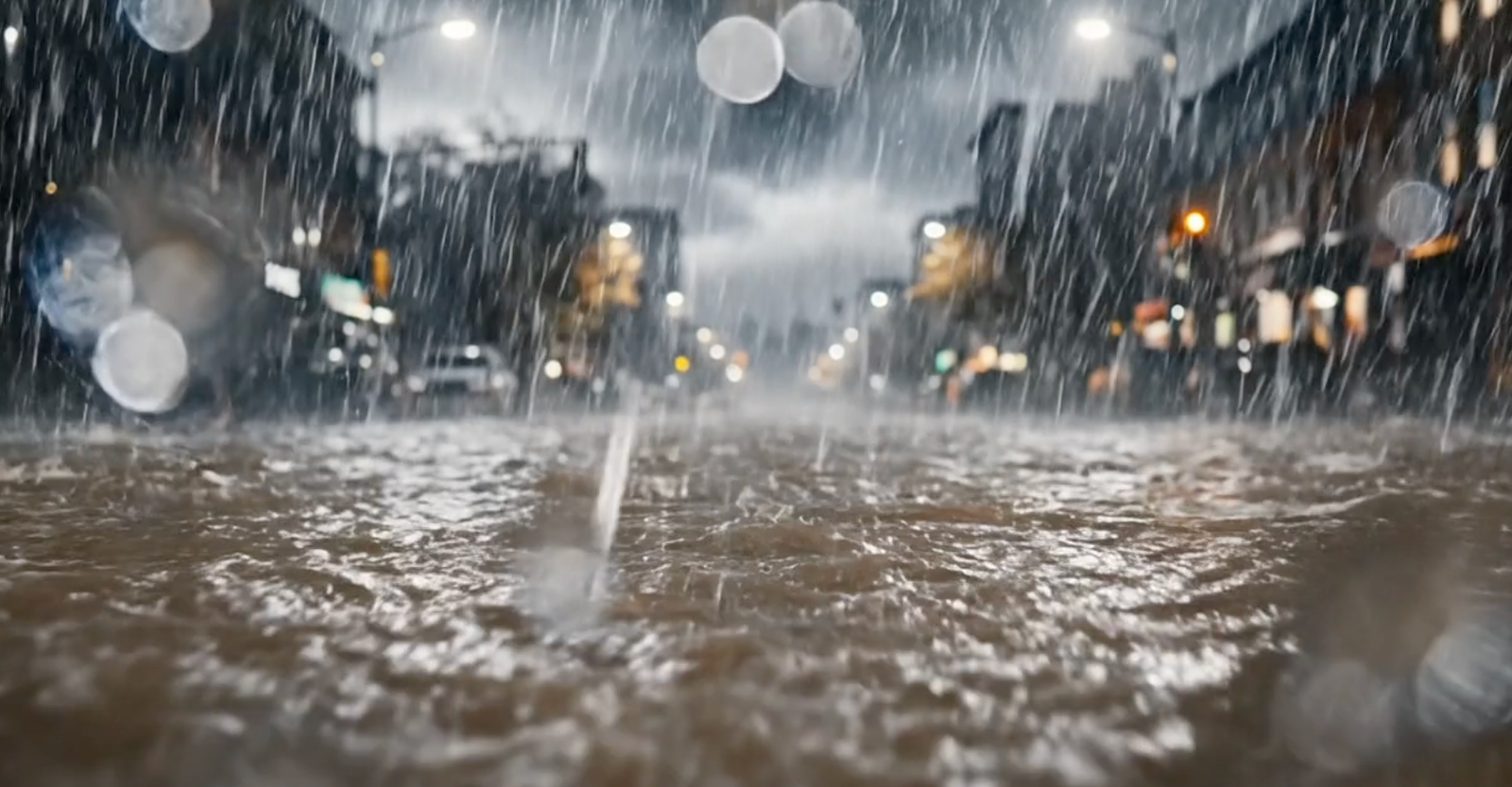
I’ve been watching Google’s flood forecasting work for a few years now. They’ve done solid work on riverine floods, covering over 2 billion people across 150 countries. But flash floods? Those are a different beast entirely. They hit fast, turn streets into rivers, and kill more than 5,000 people every year. The World Meteorological Organization says flash floods account for about 85% of flood-related fatalities globally.
Now Google is rolling out urban flash flood predictions on Flood Hub, using a new AI approach that gives up to 24 hours of advance notice. That’s a big deal. Even 12 hours of lead time can reduce flash flood damage by 60%, according to their data.
The data problem
Here’s the thing about flash floods: they’re hard to predict because there’s almost no historical data on where they happen. Riverine flood models train on physical stream gauges that measure water levels over time. But flash floods can pop up anywhere, often far from any gauge. In cities, the mix of intense rain, concrete, and drainage systems makes traditional physics-based modeling impractical at a global scale.
Google’s fix is clever. They built a dataset called Groundsource by mining news reports with Gemini. The AI scans publicly available news articles that mention floods, extracts locations and times, and confirms event details. Then they use that to train a model that predicts where flash floods are likely to occur.
Local vs. global trade-offs
There are already hyper-local flash flood warning systems in places like Florida, Barcelona, and Manila. They work well but rely on expensive physical sensors and custom calibration for each location. That’s not scalable. Google’s approach is the opposite: it’s global by design, using widely available rainfall data and satellite imagery instead of hardware on the ground.
The trade-off is precision. These localized systems are more accurate for their specific cities. Google’s model covers more ground but probably misses some local nuances. For the billions of people in developing countries who currently have zero warning, that trade-off is worth it.
What’s under the hood
The model uses a combination of rainfall forecasts, topographical data, and urban drainage information. It’s trained on the Groundsource dataset, which is essentially a map of past flash flood events extracted from news. The AI learns patterns: heavy rain over certain terrain types, specific rainfall intensities, and urban layouts that tend to flood.
One thing I appreciate is that they’re not overhyping this. They acknowledge the model’s limitations. It’s for urban areas, not rural ones. And it’s probabilistic, not deterministic — it gives a risk score, not a guarantee. That’s honest.
Why this matters
The “warning gap” between rich and poor countries is real. Less than half of developing nations have access to multi-hazard early warning systems. This isn’t a theoretical problem. Every year, people die because they didn’t know the water was coming. If Google’s model works as advertised, it could close that gap for hundreds of millions of people.
The 24-hour lead time is the key. That’s enough to evacuate, move vehicles, and protect property. In cities where drainage systems are already overwhelmed by rapid urbanization, even a few hours of warning can make the difference between inconvenience and catastrophe.
I’ll be watching how this rolls out. The Flood Hub is free and publicly accessible, which is the right move. But the real test will be in the field — whether the predictions hold up during actual monsoon seasons and hurricane events. If they do, this could be one of the more impactful AI applications I’ve seen in a while.
Comments (0)
Login Log in to comment.
Be the first to comment!